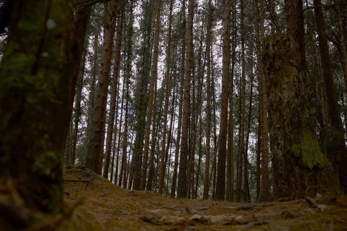
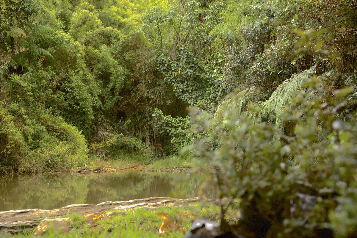
The trail La Serranía has only one section to go in and out, and there is sand and small stones, so wear tennis shoes or trekking shoes. Later, you will encounter a mountain trail. This 13-kilometer trail, which is quite physically demanding—it takes more than six hours—will take you through a lush Andean forest landscape at a maximum altitude of 3,050 meters above sea level.
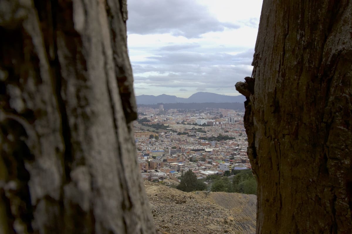
It is more than six hours long. So, while you exercise your body, you will admire breathtaking views that will take your breath away from the city traffic.
- Private car: You can take the via La Calera or La Circunvalar until reaching the beginning of the section in Usaquén, La Calera.
- SITP or bus: Identify the nearest route and get off at the stop located at CL 144 - KR 147A Br. Bilbao, where you will find the entrance to the first orchard.
As you venture along the trail from the high Andean forest to the transition area leading to the sub-paramo ecosystem, you will be surrounded by astonishing natural diversity.
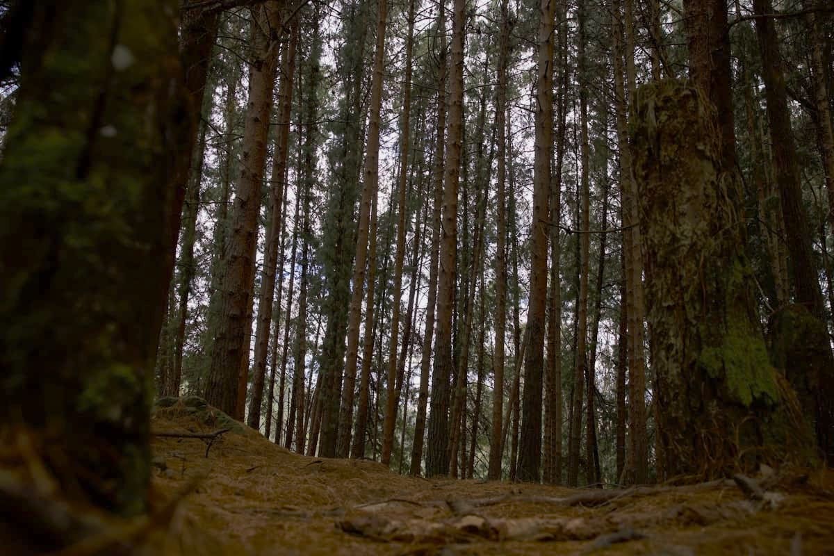
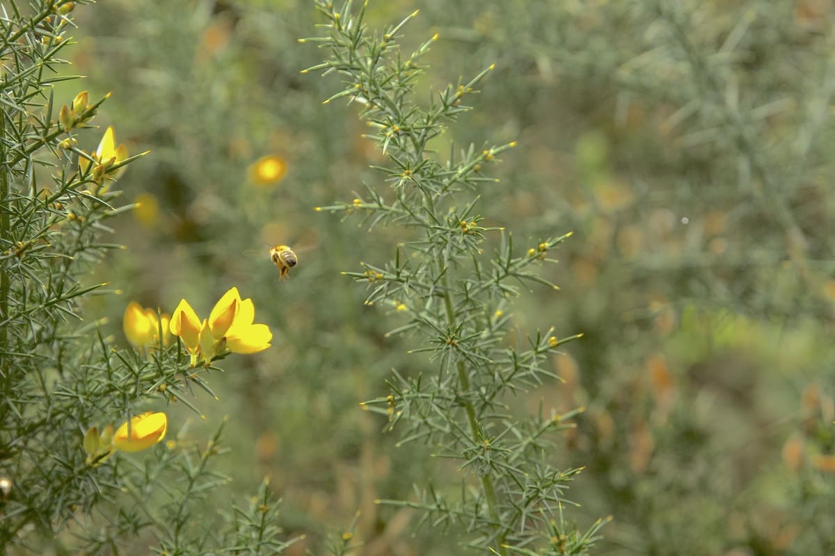
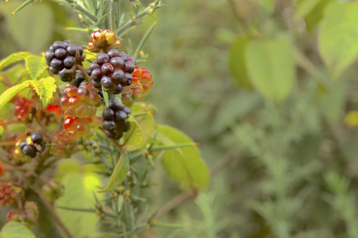
* From the beginning of the trail, you will be surrounded by a lush high Andean forest, where majestic trees and a rich variety of plants will guide you on your way. As you advance, you will notice the introduction of species such as the imposing Eucalyptus and the European Common Furze, which contrast with the native flora.
* As you approach the viewpoint, you will enter a fascinating transition area into the sub-paramo ecosystem. Here, the unique presence of frailejoncitos, emblematic plants of the Andean paramos, will captivate you with their beauty and uniqueness.
* Besides being immersed in natural beauty, you will also face a physical challenge that will push you to overcome your limits and enjoy a rewarding experience. With a high difficulty and an estimated duration of 6 to 7 hours, each step you take will bring you closer to the summit and allow you to enjoy breathtaking panoramic views.
* Along the trail, you will have the chance to connect deeply with nature, breathe fresh air, and marvel at the biodiversity all around you. Each moment will be an opportunity to reconnect with yourself and the natural environment.
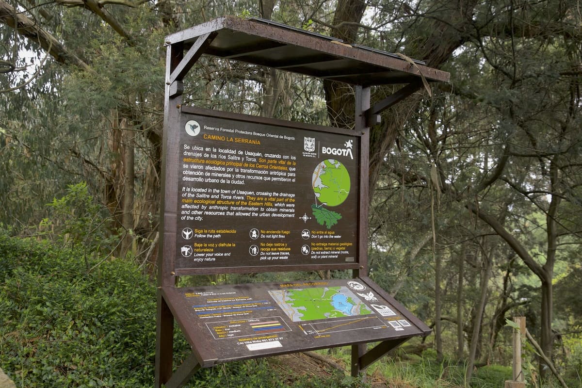
- Access to the La Serranía trail is available on Saturdays, from 7 a.m. to noon.
- You must book in advance at the link https://caminos.eaab.gov.co.
- Please note that the place doesn't have a parking lot and neither pets are allowed
- We also recommend that you wear appropriate clothing, hydrate, eat high-calorie food, and have all the dispositions to enjoy the nature that Bogotá has to offer.
It is more than six hours long. So, while you exercise your body, you will admire breathtaking views that will take your breath away from the city traffic.
